cartography

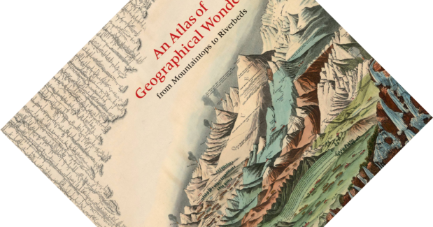
Book review – An Atlas of Geographical Wonders: From Mountaintops to Riverbeds

6-minute read

The 19th century was, for Europe and the United States in particular, a time of exploration and scientific study. Large parts of the world were still little explored and poorly mapped. Concurrent with the production of improved maps and atlases, there was a craze for a unique kind of infographic that has long since fallen by the wayside: the comparative tableau, showing the world’s highest mountains and longest rivers. This lush coffee table book sifts through the David Rumsey Historical Map Collection, one of the most renowned collections of its kind, to give readers a glimpse into the development and history of these unique images.

(more…)

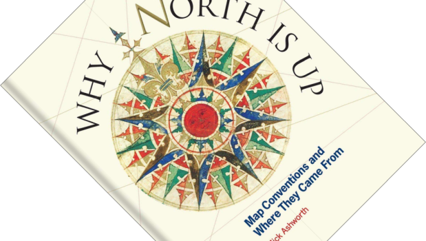
Book review – Why North is Up: Map Conventions and Where They Came From

6-minute read

Pick a map. Any map really. Chances are that the map is oriented with North at the top. But why is that? Maps are a visual language onto themselves, rich in iconography and symbols, and especially rich in mutually agreed conventions. So rich, in fact, that you will take many for granted without even realising it. In Why North is Up, cartographer Mick Ashworth leads the way through the history of cartographical conventions, introducing when and why they came into being, and how they have changed over time. And as a book published by the Bodleian Library, it is very attractively illustrated with a large number of maps from their – and other – collections.

(more…)